Reward Mine
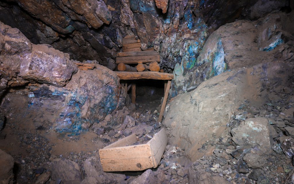
Reward / Brown Monster Mine
An abandoned gold mine in the Eastern California mountains with an extensive underground network of tunnels and adits.
The site today known as the Reward Mine is made up of multiple mining claims that have merged over time, though which today sit in a mostly abandoned state.
Following its discovery in 1870, the Reward Mine primarily produced gold and silver, with copper and lead being secondary minerals mined from the mountain shafts located in the Eclipse Canyon area of California’s Inyo Mountains overlooking the Owens River Valley. At an elevation of 4000′, the Reward Mine sat adjacent to the Brown Monster Mine, each working veins named after their respective operations and adding tunnels over the years, with the largest production occurring from 1911 until 1952.
The two mines combined to be the major producers of lode gold in the Union District (comprised of the area of the Inyo Mountains east of the town of Lone Pine) from the mine openings until 1959 when large operations ceased. During the early period, ore was shipped to the Tropico Mill in the town of Rosamond located near Lancaster in Southern California’s Antelope Valley. Eventually a small mill was constructed onsite that could handle between 1.25 and 1.5 tons of ore per hour.
The Reward Mine was set around a vein about 150′ to 300′ long and 6 feet thick with gold and lead, while the Brown Monster’s operations worked a 150′ to 200′ long vein ranging between 4 and 12 feet thick.
In 1948, then mine owner, T.L. Bright reported daily production of 10 tons, with ore reportedly assaying at $100-150 per ton.
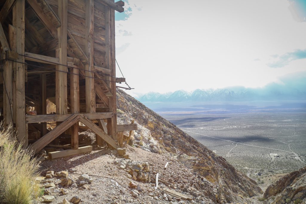
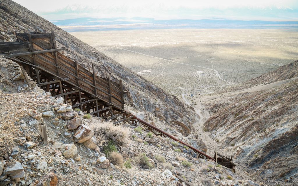
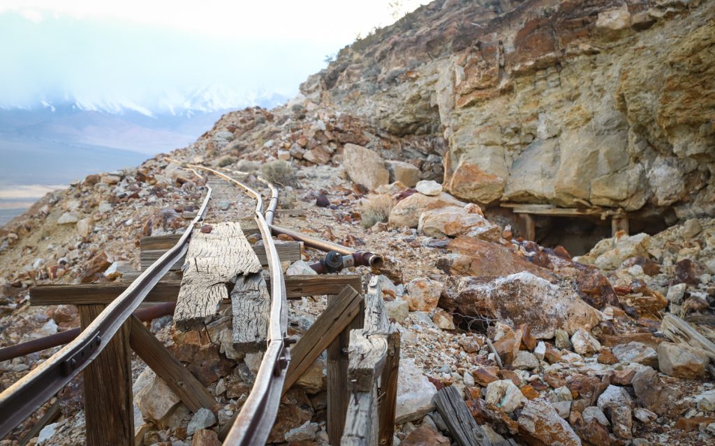
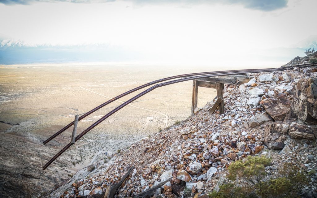
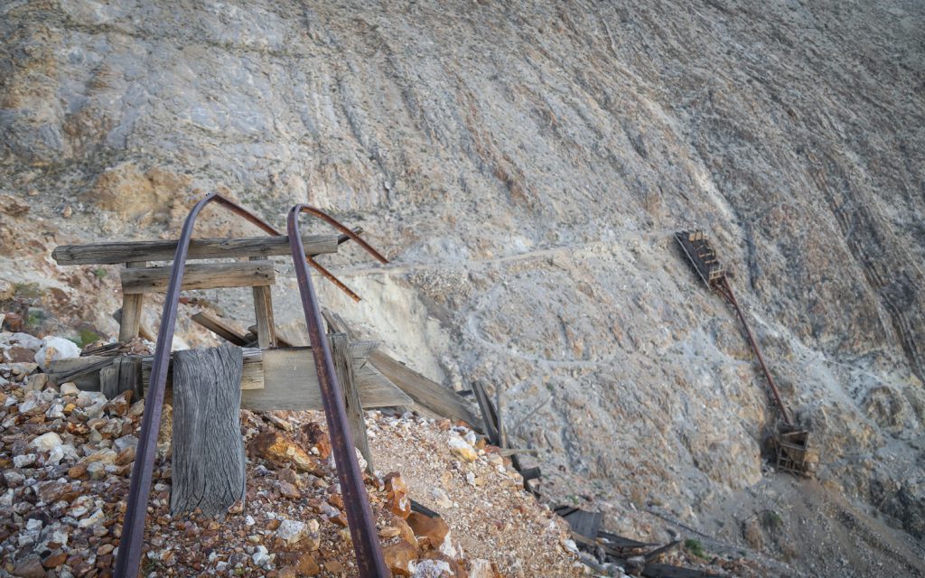
Over time, a cable system was built to transport ore from the higher elevation shafts to the mill site nearer the base of the canyon.
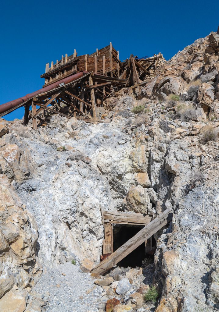
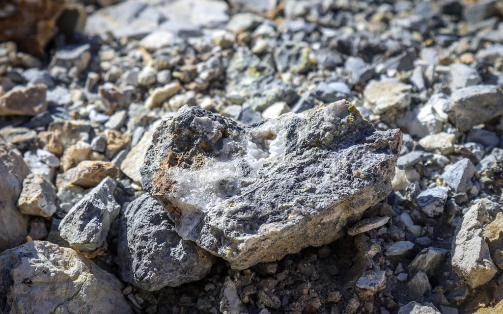
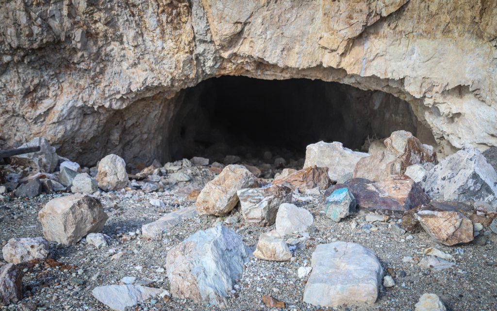
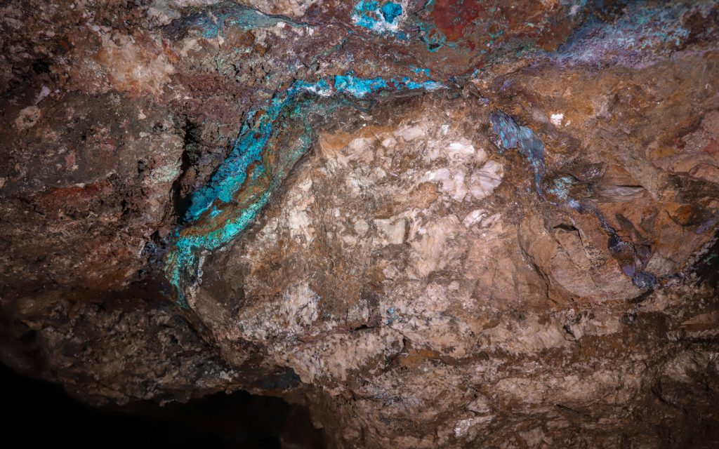
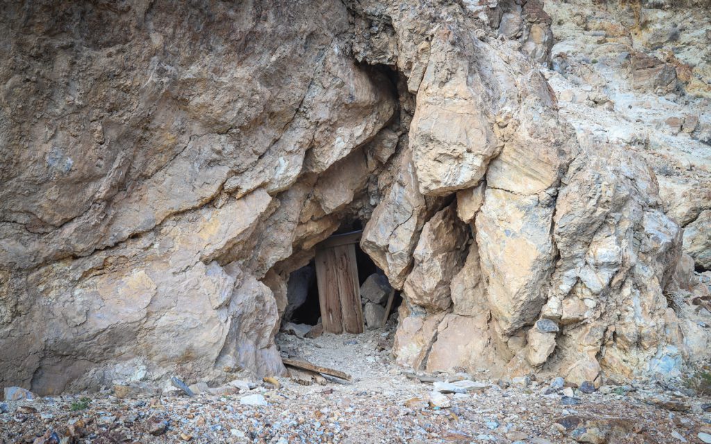
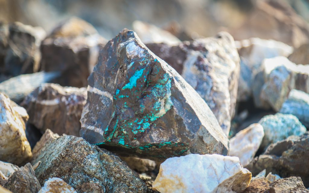
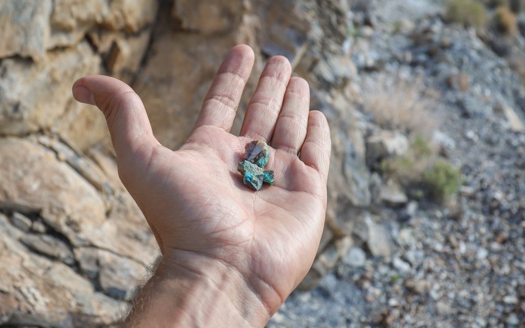
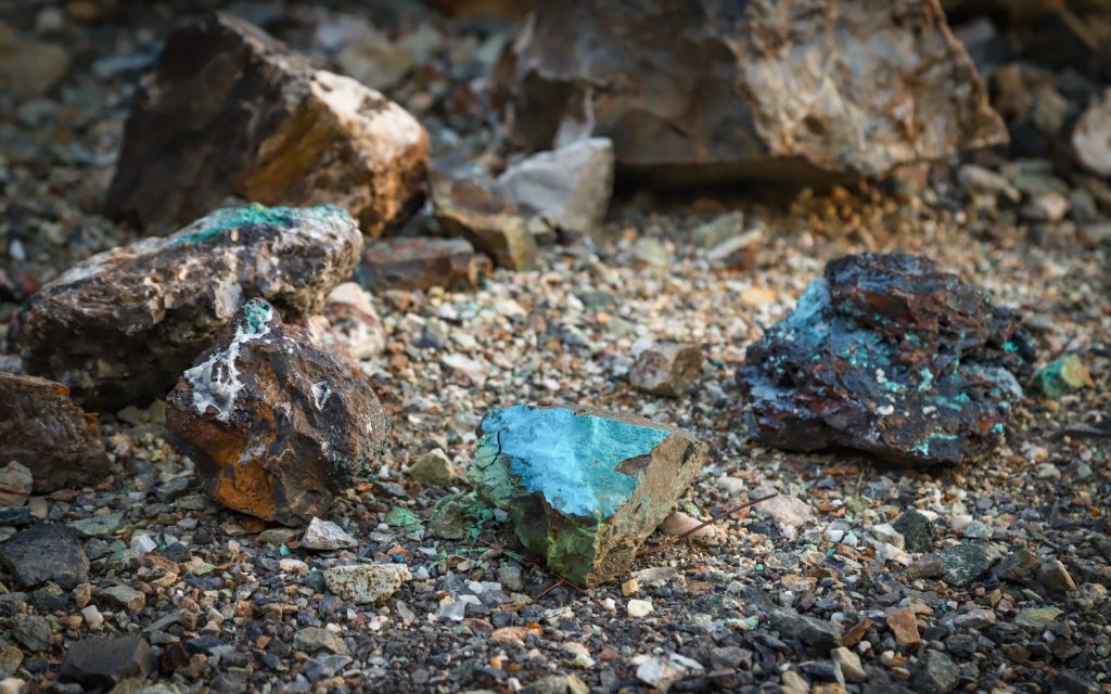
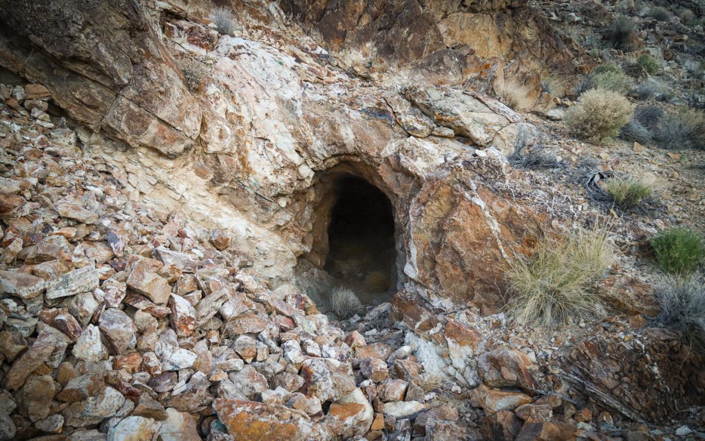
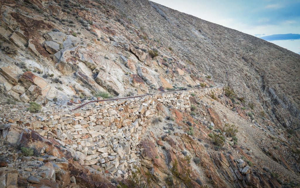
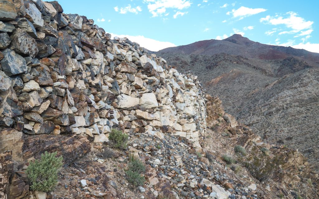
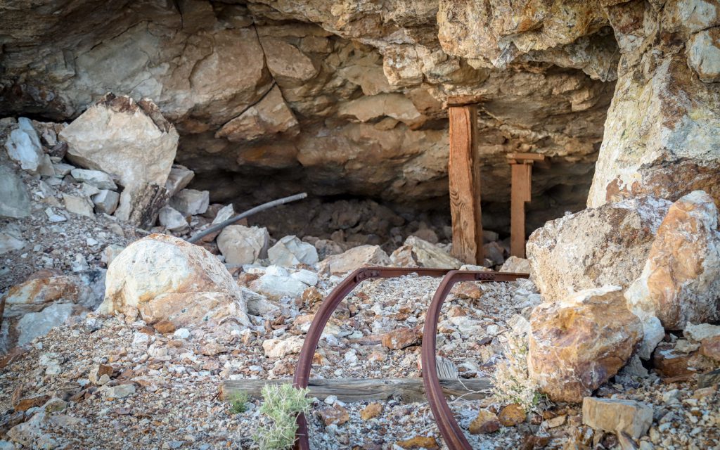
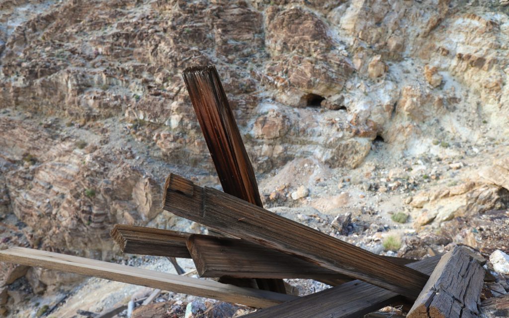
Reaching the mine site requires a steep climb over tailings piles that display the variety of minerals present in the rock. Ore present includes chrysocolla, quartz, calcite, jasper and anglesite. The remains of the mines have left a dispersed network of open shafts throughout the mountainside, along with old mill, walkway and cable tram structures.
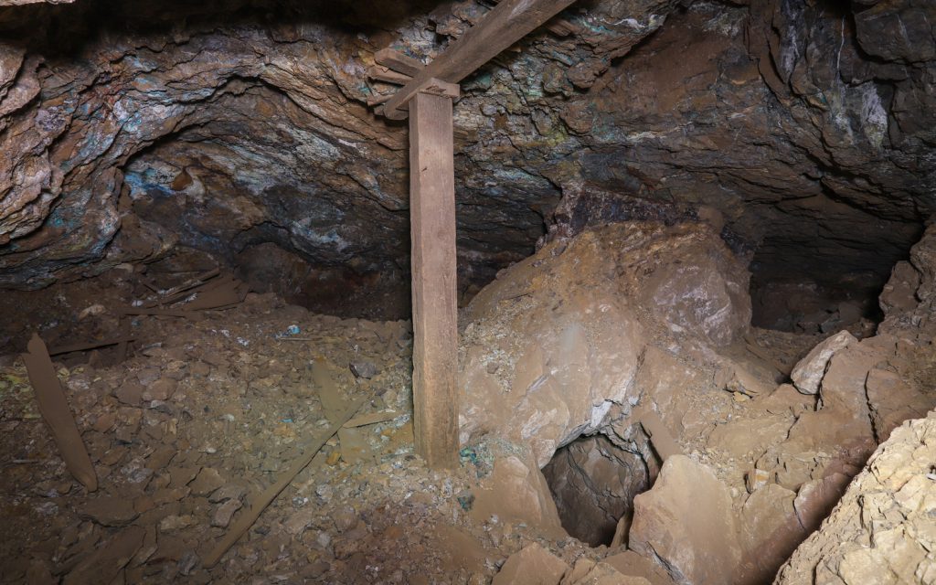
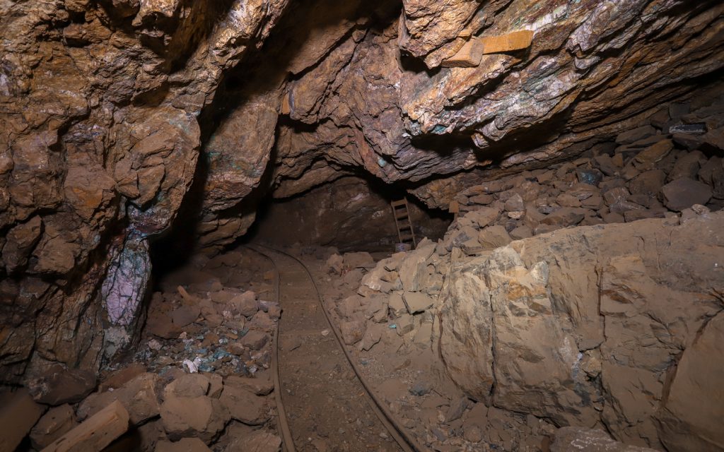
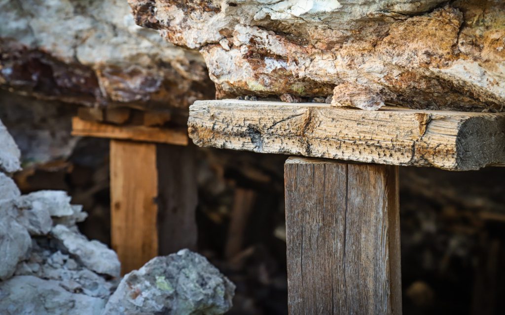
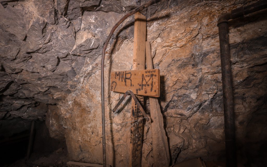
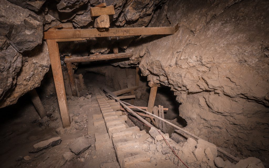
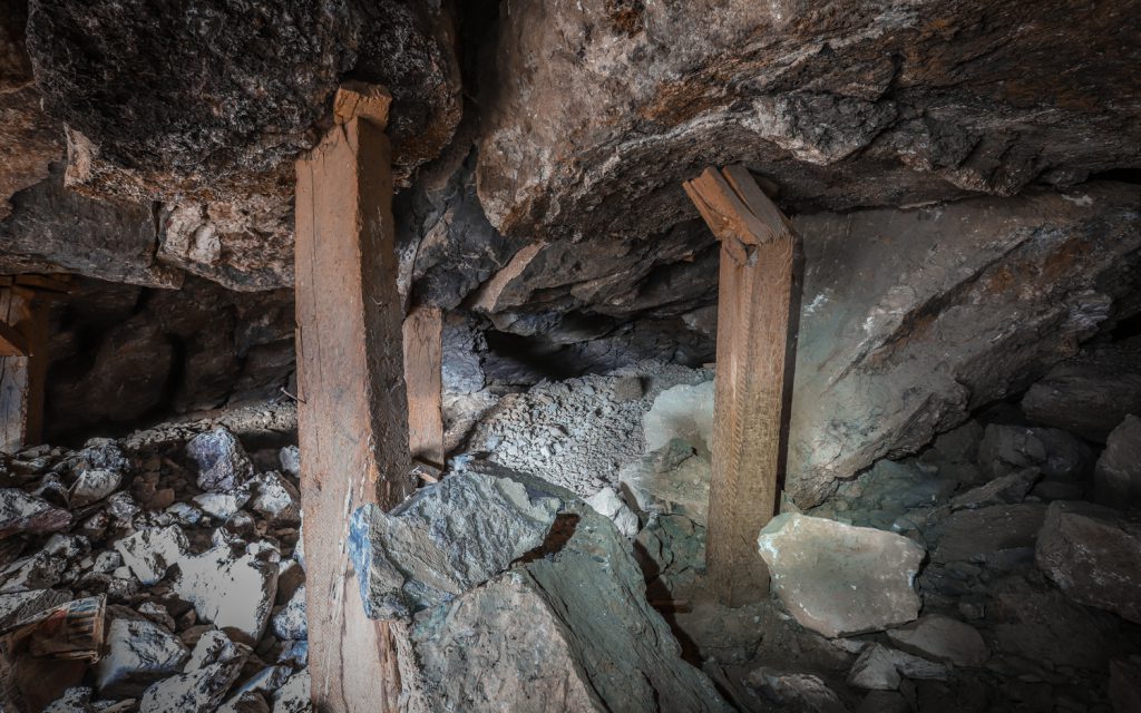
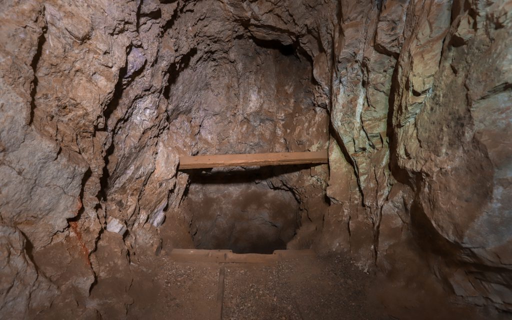
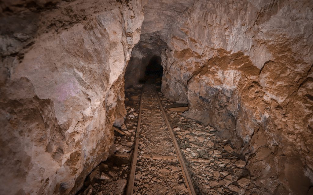
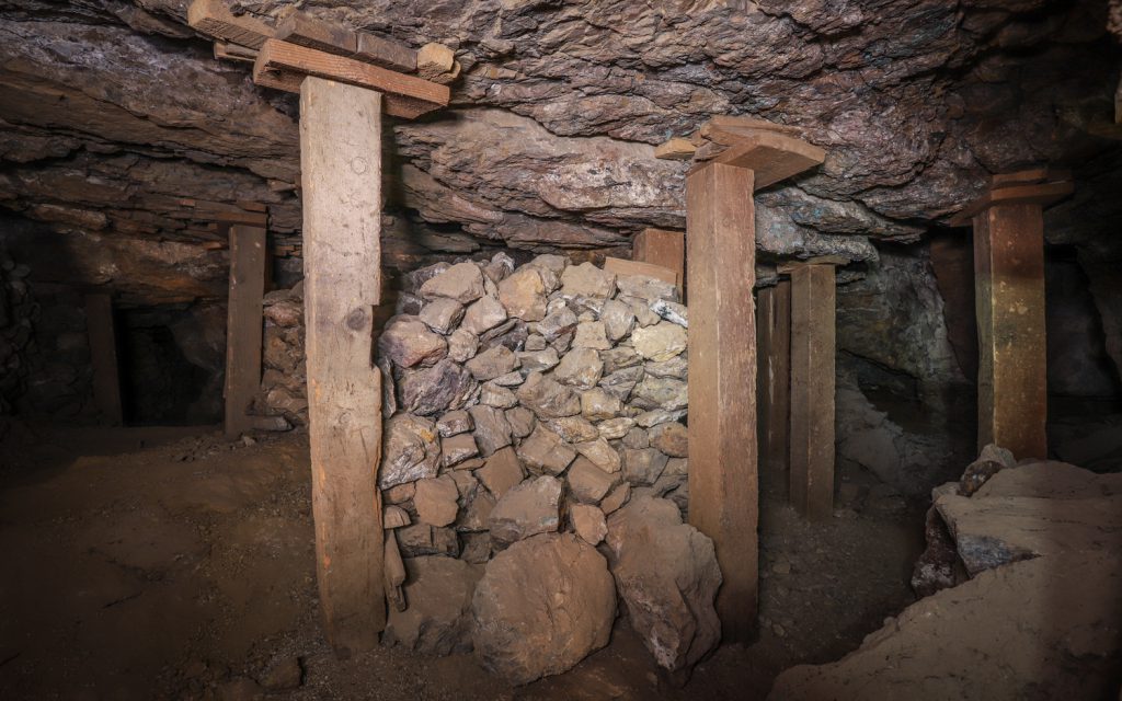
While the main network of tunnels is made up of 8 levels of underground adits running along an inclined shaft – stretching about 500 feet from top to bottom – one larger tunnel added relatively late in the mine’s existence after the use of vehicles in mining operations became more common tends to be the most popular area among 4WD traffic.
While portions of the mine continue to remain privately owned, as recently as 2017 Bureau of Land Management files show portions of the claim being abandoned, reverting back to BLM jurisdiction.
(you can view larger versions of the images or purchase archival prints or digital images by clicking on the link at the bottom of the page.)

(to purchase images, click here.)
or see our other blog posts here.

Is all the old equipment above the section that you can drive into? I didn't notice any of it when I was there before. Thanks.
It’s on the other side of the hill you drive into, right at the fork at the base of the hills, don’t drive too far up, the road stops and is very loose gravel. Hike up to the wooden ore bin, then follow around the front of it and a trail switches up to the main mine, follow the walkway around to the north and walk up the spur at the end.
Thanks for all the Photos and information! I just found this online and scouring the satellite photos I saw the track path and likely tramway. I was hoping to find photos of what's left. So glad I found your site! Thank you!